

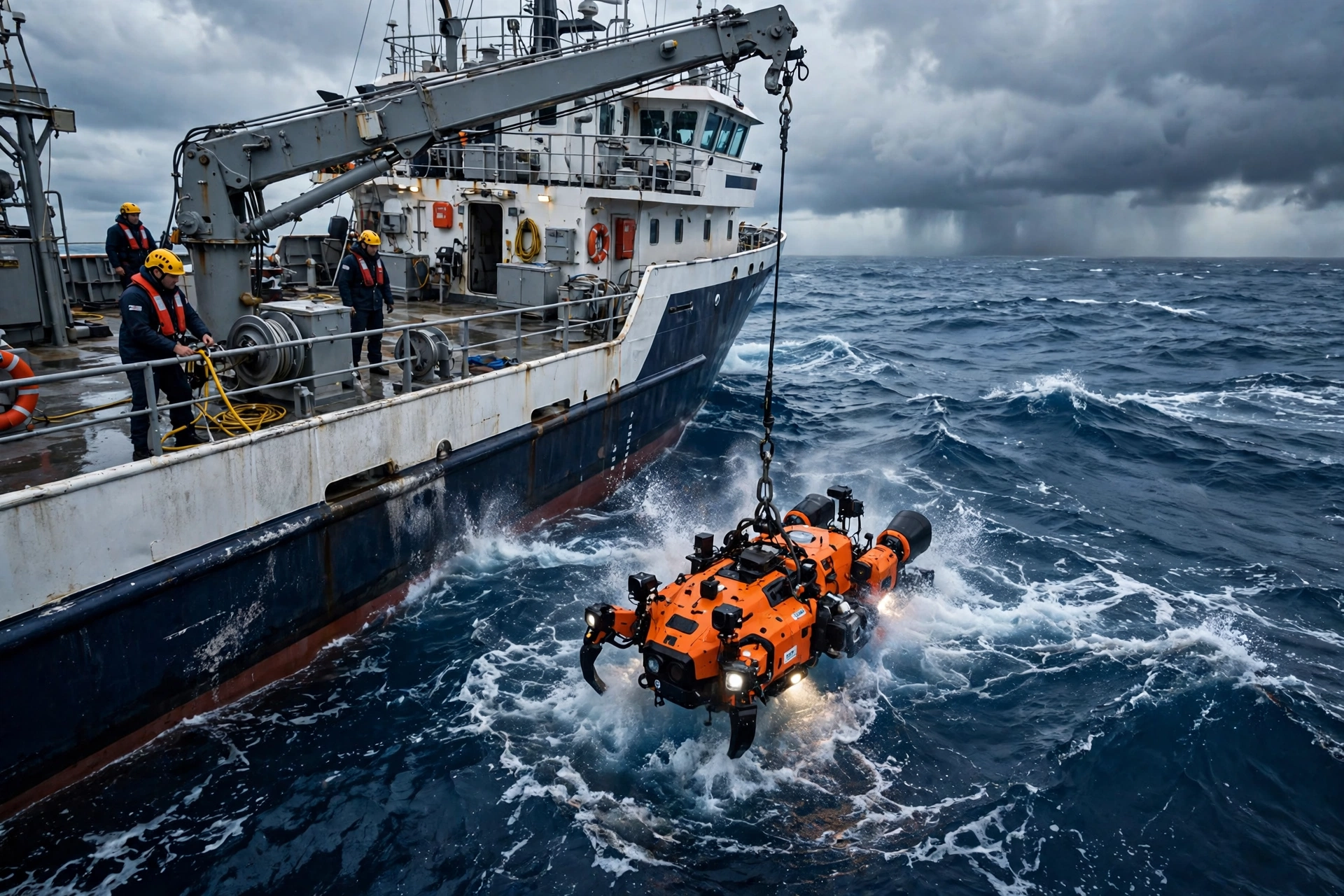
It is one of the most startling facts in science: we have better maps of the surface of Mars than of our own ocean floor. Roughly three-quarters of the deep seabed remains unmapped at high resolution — and a global fleet of research ships, autonomous robots and satellites is now racing to change that before 2030.
The effort, coordinated internationally through the Seabed 2030 project and supported by agencies such as NOAA Ocean Exploration, has quietly become one of the largest scientific undertakings on the planet. At Globe Media News we have followed the mapping fleet as coverage of the deep ocean has climbed year after year.
Why a Map of the Seabed Matters
This is not cartography for its own sake. Detailed seabed maps are the foundation for laying undersea cables and pipelines, choosing sites for offshore wind farms, and understanding how tsunamis propagate toward coastlines. Ocean currents — which move heat around the planet and shape the climate — are steered by underwater mountains and trenches that, in many regions, have never been properly charted.
Biology stands to gain enormously. Almost every high-resolution survey of a previously unmapped area finds species new to science: cold-water coral gardens, hydrothermal vent fields, sponge grounds that shelter young fish. You cannot protect what you have not found, and marine protected areas are far easier to design with a real map in hand.
The Technology Closing the Gap
The traditional tool is a research ship with multibeam sonar, painstakingly driving lawn-mower patterns over the seabed. It works beautifully and covers ground painfully slowly. The acceleration is coming from autonomy: uncrewed surface vessels that can survey for weeks at a fraction of a crewed ship’s cost, deep-diving autonomous submarines, and satellites that infer shallow-water depth from imagery and gravity measurements.
Artificial intelligence ties it together, cleaning sonar data, flagging geological features and stitching surveys from dozens of countries into a single open map. Data is also arriving from an unlikely source — commercial ships. Fishing fleets, cargo vessels and cruise liners fitted with modern sonar are voluntarily logging depth data along their routes, turning the world’s shipping lanes into mapping corridors.
Related reading: How Does Family Dispute Resolution Work Before Going to Court?
What Still Stands in the Way
The remaining unmapped ocean is, almost by definition, the hardest to reach: polar seas locked in ice for much of the year, remote stretches of the South Pacific and Indian Oceans, and deep waters where survey ships are scarce. Funding is the other constraint. Mapping the entire seabed has been costed in the low billions of dollars — trivial next to a space programme, but spread across many nations and agencies, each with its own budget battles.
There are sensitivities, too. High-resolution seabed data has military and commercial value, from submarine navigation to deep-sea mining claims, and not every nation is equally eager to share everything its surveyors find.
A Different Planet by 2030
Whatever the final coverage figure when 2030 arrives, the transformation is already locked in. A generation of ocean scientists is working with a picture of the deep Earth that sharpens every month — and every sharper image raises new questions about the vast, dark territory that covers most of our planet. The race to map it is, in the end, a race to understand the world we actually live on.
What the New Maps Have Already Found
The surveys are not waiting for 2030 to produce discoveries. Mapping fleets have charted previously unknown seamounts rising thousands of metres from the Pacific floor, traced cold-water coral reefs off several continents, and found the wreckage of historic vessels exactly where sharper maps said to look. Each new survey refines the models scientists use to predict how ocean heat moves — work with direct consequences for weather forecasting and fisheries management on land.
Perhaps the most surprising contributor is the crowd. Yacht sailors, research volunteers and commercial crews now upload depth soundings from ordinary journeys, a citizen-science effort that has added millions of measurements in coastal waters where official surveys are thinnest. Combined with satellite estimates in the shallows, the map’s blank spaces are shrinking from both ends: the deep ocean by robot, the coasts by everyone.
