
Close Menu
GlobeMediaNews
    Facebook X (Twitter) Instagram
    Trending
    • Find Fast Connection and Premium Digital Entertainment with Agen Togel Now
    • Weather Satellites Share Data Faster to Sharpen Storm Forecasts
    • Lightning Maps Show Where Storms Most Often Spark Wildfires in Dry Regions
    • Smart Glasses Offer Audio Directions for Visually Impaired Walkers
    • Mountain Observatories Share Skies to Track Fast Moving Comets
    • Chip Plants Expand Apprenticeships to Train Cleanroom Technicians Locally
    • Planetary Defence Teams Practise Spotting a Hazardous Asteroid Early
    • Wild Pollinators Sense the Electric Fields of Flowers to Find Nectar
    Facebook X (Twitter) Instagram
    GlobeMediaNews
    • Home
    • Breaking News
    • Editorials
    • Fact Checks
    • Interviews
    • Investigative Reports
    GlobeMediaNews
    Home»Blog»Lightning Maps Show Where Storms Most Often Spark Wildfires in Dry Regions
    Blog

    Lightning Maps Show Where Storms Most Often Spark Wildfires in Dry Regions

    Anton KleinBy Anton KleinNovember 12, 2026No Comments3 Mins Read
    Share Facebook Twitter Pinterest Copy Link LinkedIn Tumblr Email VKontakte Telegram
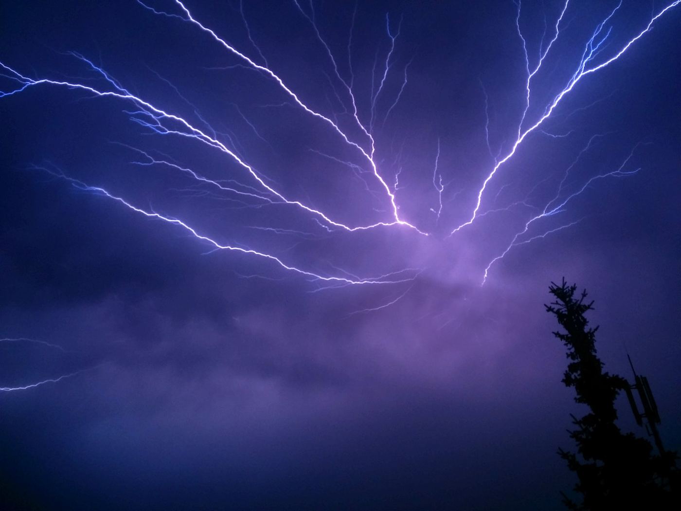
    Bright lightning bolts illuminating storm clouds across a dark night sky.

    Not every lightning strike starts a fire, and not every storm is equally dangerous. By overlaying years of satellite lightning records with wildfire reports, vegetation maps and soil moisture data, researchers have produced detailed maps showing where lightning most often ignites fires in dry regions, and in which weeks of the year the risk peaks. The pattern is more specific than many fire services expected: a relatively small number of landscapes, where dry storms pass over parched, fuel-rich ground with little accompanying rain, account for a large share of natural ignitions. Knowing those hotspots in advance changes how agencies prepare. Crews, aircraft and detection cameras can be positioned where a strike is most likely to matter, and rapid response teams can check recent strike locations within hours, when a smouldering fire is still small enough to contain easily, rather than discovering it days later after wind has driven it across difficult terrain toward homes and infrastructure. The resulting maps are published openly, so smaller local brigades can plan with the same evidence.

    What the Evidence Shows

    The maps also reveal how climate change is shifting the risk. In several regions studied, the season for lightning-ignited fires is lengthening, and strikes are occurring more frequently over areas dried by prolonged heat, increasing the chance that a single storm sets multiple fires at once and overwhelms local response capacity. Fire ecologists emphasise that lightning fire is a natural process many ecosystems evolved with, so the goal is not to prevent every ignition but to protect lives, homes and vulnerable habitats by responding fastest where consequences would be worst. Improved lightning location networks, which now pinpoint strikes within hundreds of metres in near real time, feed directly into this strategy. Combined with satellite heat detection, they give incident rooms a prioritised list of places to inspect after every storm. As dry regions face hotter summers, this marriage of atmospheric science and practical firefighting is becoming an essential tool for living more safely with a natural phenomenon that cannot be controlled. Reporting and analysis from sources such as National Science Foundation track the same developments, and specialists following the lightning wildfire ignition map say the direction is now consistent across independent lines of evidence.

    The Wider Context

    The wider context is a research landscape in which replication and open data now decide reputations. Findings connected to the lightning wildfire ignition map are being checked by independent groups with shared datasets, and the teams involved publish their methods in full so rivals can test every step. That discipline is slower than a headline cycle, but it is why results in this area increasingly survive first contact with scrutiny.

    What Happens Next

    What happens next in the story of the lightning wildfire ignition map will be decided by follow-up work already under way: larger samples, longer observation and instruments that have not yet come online. The researchers involved are unusually united on one point, that the current results justify the next investment of time and money. Readers will not have to wait long for the first tests of that claim. You can follow related developments in our coverage of science.

    There is a practical lesson in all of this for readers deciding what to do today. Start with the verified facts, be wary of anyone promising certainty, and prefer reversible steps while the evidence is still developing. Circumstances differ by country, income and personal situation, so general guidance should always be weighed against your own context before you act on it in any significant or lasting way.

    climate science wildfires
    Anton Klein

    Related Posts

    Blog

    Find Fast Connection and Premium Digital Entertainment with Agen Togel Now

    November 12, 2026
    Blog

    Weather Satellites Share Data Faster to Sharpen Storm Forecasts

    November 12, 2026
    Blog

    Smart Glasses Offer Audio Directions for Visually Impaired Walkers

    November 10, 2026
    Blog

    Mountain Observatories Share Skies to Track Fast Moving Comets

    November 10, 2026
    Blog

    Chip Plants Expand Apprenticeships to Train Cleanroom Technicians Locally

    November 10, 2026
    Blog

    Planetary Defence Teams Practise Spotting a Hazardous Asteroid Early

    November 10, 2026
    Add A Comment
    Leave A Reply Cancel Reply

    Search
    Recent Posts

    Find Fast Connection and Premium Digital Entertainment with Agen Togel Now

    November 12, 2026

    Weather Satellites Share Data Faster to Sharpen Storm Forecasts

    November 12, 2026

    Lightning Maps Show Where Storms Most Often Spark Wildfires in Dry Regions

    November 12, 2026

    Smart Glasses Offer Audio Directions for Visually Impaired Walkers

    November 10, 2026
    Categories
    • Blog
    • Breaking News
    • Editorials
    • Fact Checks
    • Interviews
    • Investigative Reports
    About Us

    GlobeMediaNews delivers unfiltered, unbiased coverage of global events, politics, and breaking stories with relentless accuracy, sharp clarity,

    and fearless reporting—news without spin, truth without compromise, facts that speak for themselves. #GlobeMediaNews

    Facebook X (Twitter) Instagram Pinterest YouTube
    Latest Posts

    Find Fast Connection and Premium Digital Entertainment with Agen Togel Now

    November 12, 2026

    Weather Satellites Share Data Faster to Sharpen Storm Forecasts

    November 12, 2026

    Lightning Maps Show Where Storms Most Often Spark Wildfires in Dry Regions

    November 12, 2026
    Contact Us

    We welcome your feedback and inquiries at GlobeMediaNews. Whether you have a news tip, an advertising request, or need support, feel free to reach out.

    Email: contact@outreachmedia .io
    Phone: +92 305 5631208

    Address: 4427 Little Street
    Akron, OH 44311

    Copyright © 2026 | All Right Reserved | GlobeMediaNews

    • About Us
    • Contact Us
    • Disclaimer
    • Privacy Policy
    • Terms and Conditions
    • Write For Us
    • Sitemap

    Type above and press Enter to search. Press Esc to cancel.

    WhatsApp us